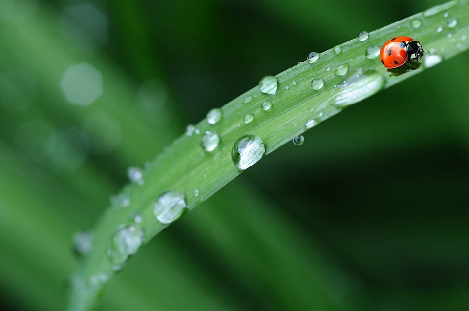
People throughout the Southern Interior were doing a happy rain dance this morning as clouds opened over a heat-scorched region.
Rain is falling throughout the Shuswap, Okanagan and Similkameen.
“It is finally raining,” said Environment Canada meteorologist Matt MacDonald. “As this trough sweeps across the Okanagan area this morning we have picked up about two millimetres at the Kelowna airport, but some of the ridge tops have received quite a bit more.
“At the Pennask Summit we are saw almost seven mm this morning, so some much welcome rain.”
While this morning’s rain is guaranteed to help somewhat in the firefights, there is a not a lot of rain where it is needed most, the Similkameen.
“A little bit of rain is making it into the Similkameen, but not quite as much. It is really just a few drops down there unfortunately,” says MacDonald.
“It is raining from Penticton all the way up through the Shuswap and into Revelstoke, the whole region getting some glorious rain this morning,” says MacDonald.
Related: Global infernos create firefighter shortage
Related: BC Wildfire to call in help from other provinces, countries
Unfortunately, he adds, the rain is short lived this morning before another storm system moves in this afternoon.
“It will clear and then this afternoon we will be keeping an eye on the skies for the redevelopment of yet more thunderstorms for the Shuswap, Columbias, Okanagan and Kootenays,” explains MacDonald.
“Over the last few days we were on edge as some of those thunderstorms could have been severe, with really strong gusty winds and ample lightning, but today’s is more garden-variety thunderstorms,”
He says we may see some lightning strikes, but it will be accompanied by rain, dry lightning is not a risk today.
Its raining in the #Okanagan!! Rain amounts so far: 1.2mm @ylwkelowna , 6.8mm at Pennask Summit, 2.3mm at Kalamalka Lookout. #DontStopTheRainDance #BCwx #BCwildfire pic.twitter.com/UXgKRJd9aa
— ECCC Weather British Columbia (@ECCCWeatherBC) August 3, 2018
Once we get through Friday MacDonald says the weekend is look relatively good, especially for the fire fight.
“Tomorrow we are looking at some much cooler temperatures compared to what we’ve seen, highs of 28 C, so seasonal,” explains MacDonald.
“We’re finally out of this hot spell, a return to season temperatures.”
Things will warm back up on Sunday, reaching about 30 C.
“Temperatures will rebound on Sunday, get to 31 C on Monday. So, it will be getting hot again, but nothing like the heat we saw earlier in July,” adds MacDonald.
Send us your best weather and fire photos and video by clicking Contact at the top of the page.
To report a typo, email:
newstips@kelownacapnews.com.
@carmenweld
carmen.weld@bpdigital.ca
Like us on Facebook and follow us on Twitter.