UPDATE FRIDAY 11 A.M.
Some camp site and road closures are being put in place as increased wildfire activity picks up near Lumby and Cherryville.
BC Wildfire Service has recommended the closure of the recreation site near the north east corner of Sugar Lake along with the Kate Creek forest service road access road. Kate Creek and Sugar Mountain lookout are both listed as closed.
A closure of all recreational traffic on Mabel Lake forest service road from the eight kilometre mark to 59 is in place, along with all recreation sites along that road.
This does not affect the Mabel Lake provincial campground, but does affect Cascade Beach, Cascade Falls, Cottonwood Beach and Napasis Creek. The closure also does not apply to the residents in the Mabel Lake Holdings community, nor other private residences along the road.
“These closures are not due to fire threat but for road safety for our crews and industry partners travelling to and from the fires,” the notice states. “This takes effect immediately.”
A fire camp is expected to be set up Sunday east of Lumby.
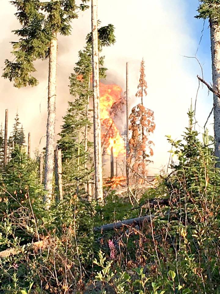
“Yesterday there was extreme fire behaviour within those fires,” said Rosalie MacAulay, fire information officer. “This is a result of the ongoing high temperatures and low humidity.”
Mabel saw additional growth on the western flank.
The Harris Creek fire also caused some challenges.
“They have a spot on the western guard that has been causing them some problems,” said MacAulay.
An air tanker request has been put in and crews continue to work on building the containment line.
See related: Crews work towards Harris Creek containment
None of the fires, including Procter Road, are interface fires.
There could be some relief this evening and Saturday morning with rain in the forecast, but thunderstorms could also cause additional challenges.
“As long as there isn’t any high winds or lightning,” said MacAulay. “It (rain) can help, it will slow down the fire growth. It does help the crews with their fire suppression efforts but it’s not going to put the fires out.”
There is a risk of a thunderstorm late this afternoon and early this evening for Vernon. Showers with a few thunderstorms are also forecast for Saturday morning.
Meanwhile heat records were broken across the province Thursday. Vernon tied the 2013 record set in 2013 of 35.4
See: 24 temperature records broken across B.C.
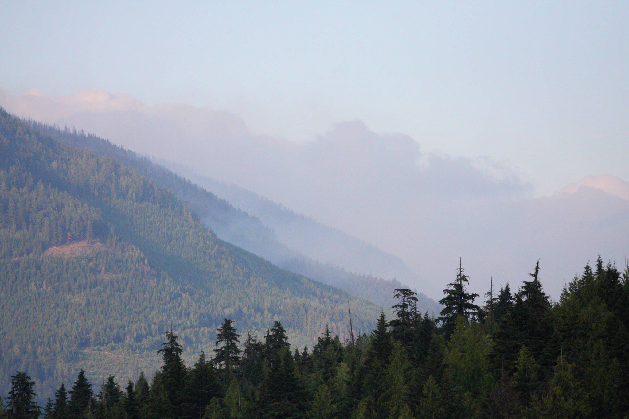
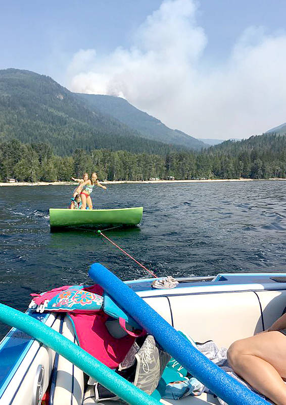
A heat and air quality warning remain in place for the region.
See: Wildfire smoke settling into the Southern Interior
See also: Gottfriedsen wildfire, north of Highway 97C mapped at 400 hectares
……………………..
Five fires of note burning in the North Okanagan continue to challenge firefighting crews.
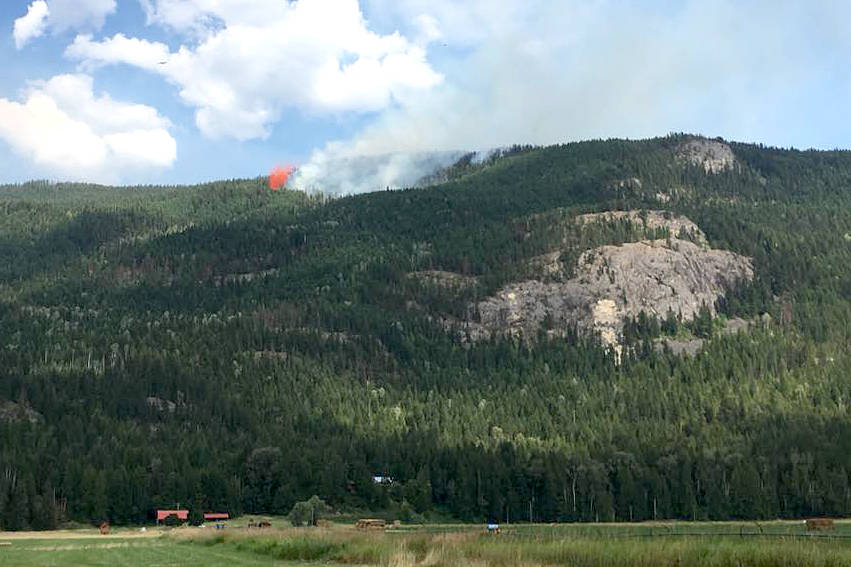
Increased fire behaviour has been seen at Harris Creek (260 hectares), Mabel Creek (originally 200 hectares but being re-assessed), Sugar Mountain (170 hectares, also out-dated) and Procter Road (now 25.5 hectares) while Monte Lake remains controlled at 114 hectares.
“With the drying trend and higher temperatures, increased fire behaviour is expected,” BC Wildfire Service fire information officer Rosalie MacAulay said. “Burning debris has been rolling over containment lines.”
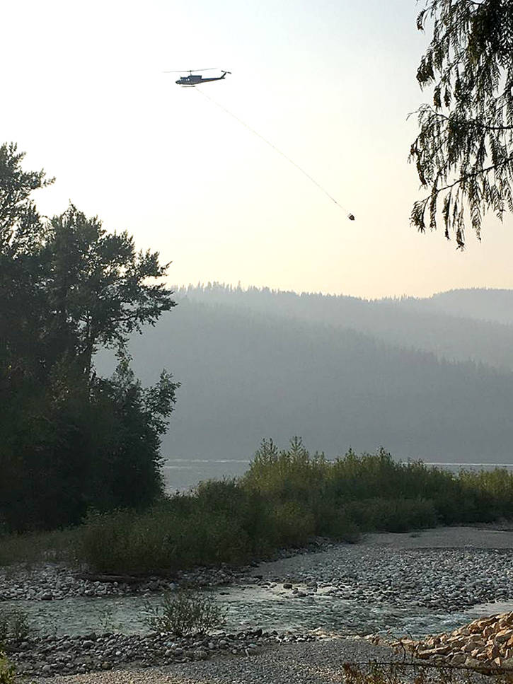
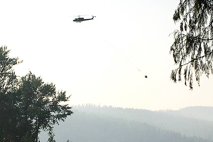
At Harris Creek, planned ignitions have been successfully completed this week by 31 firefighters on scene who are also working with Tolko personnel and eight helicopters (actioning all Lumby/Cherryville fires).
North of Lumby, the Mabel Creek fire crossed the creek this week. As a result, crews are working to build guards on the west flank to limit growth toward Mabel Lake. Smoke will be highly visible from this fire. A fire camp is also expected to be set up Friday east of Lumby and helipads are being established.
“There will be potential for significant fire growth if there are new starts,” MacAuley said. “Fires will be surface fires but starts in continuous grass fuels will potentially grow to 20 hectares in 30 minutes during peak burning periods. Temperature and fuels indicate slow fire spread; however, steep slopes and winds aligning with the slope would result in significant runs.”
There are 15 BCWS firefighters and two danger tree assessors along with Tolko staff and their seven pieces of equipment on the suppression of this wildfire.
Sugar Mountain is also seeing elevations in fire behaviour during the afternoon hours.
“Tolko is working 4 a.m. to noon on the fire since Saturday, mostly putting in roads and guards,” said Cherryville Fire Warden, Clint Whitecotton. “Helicopters are bucketing on it now in the evenings.”
Fire on the east slope is a concern but they have a line on the bottom side and northwest side.
“Concern is to keep the fire from running up the draw through all the timber fuel,” said Whitecotton.
Area restrictions remain in place for both the Sugar and Mabel fires for public safety and avoid interface with fire control.
Growth at the Proctor Road wildfire, previously 20 hectares, is due to more accurate mapping.
“The crews have made excellent progress in the suppression of this wildfire and will continue to work to increase containment,” said MacAuley. “They have a machine guard on the north end of the perimeter on flat ground, and they also have a fuel free zone around the entire perimeter of the Proctor Road wildfire.”
The blaze, considered as being held, has 13 firefighters on scene.
Two small fires burning near Westside Road earlier this week were extinguished.