The chance of spring flooding in the Okanagan has decreased over the past month, according to a recent B.C. River Forecast Centre report.
Between Feb. 1 and March 1 the report stated that Okanagan’s snowpack decreased from 129 per cent to 115 percent above its normal annual levels, a 14 per cent decline.
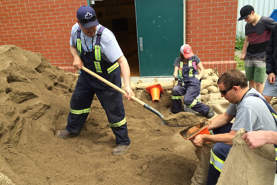
READ MORE: Evacuations, road closures and plenty of cleanup after B.C. flooding, landslides
According to the report, the chance of flooding in a region goes down when its above-average snowpack declines below 120 per cent.
Despite the decrease in the overall snowpack, some areas of the Okanagan still face a higher chance of flooding this spring than other areas.
“There is a significant east-west divide within the Okanagan,” reads the report.
“Eastern regions of the Okanagan have measurements around 120 to 150 per cent of normal while measurements in the western portion of the Okanagan range from 75 to 100 per cent of normal.”
Other areas that face high floods risks in B.C. include the Skagit and Boundary regions, which are currently at 139 per cent and 134 per cent above their normal annual snowpack levels.
Across the province, B.C.’s snowpack actually increased slightly between Feb. 1, and March 1.
“The provincial average of snow measurements is 111 per cent of normal, a slight increase from 110 percent of normal on February 1st, 2020,” said the report.
“Seasonal flood risk is elevated in many regions, including the Upper Fraser West, Upper Fraser East, North Thompson, South Thompson, West Kootenay, Boundary, Central Coast and Skagit.”
In May of 2018, many Grand Forks residents were forced to evacuate their homes because of severe flooding.
That same year, dozens of properties were also placed on evacuation alert in Osoyoos after flooding occurred along Osoyoos Lake.
To view the full report, visit B.C. government’s website.
@connortrembley
connor.trembley@kelownacapnews.com
Like us on Facebook and follow us on Twitter.