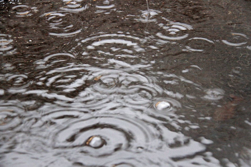
A severe thunderstorm watch is back on for most of the Okanagan.
Environment Canada is forecasting rain and storms throughout the day in Central, North and South Okanagan. The thunderstorm storm is expected end late Saturday before the sun returns to some parts of the Okanagan for a stretch starting Sunday.
Updates on the thunderstorm watch can be found here.
Looks like the suns is back for awhile! After today of course. 🙃 pic.twitter.com/J2IjsAyJlc
— Mack Britton (@MackBrittonBC) May 25, 2019
In Penticton: Mostly clouds through the day with 40 per cent chance of rain throughout the evening. Thunderstorm risk continuing through to the evening. High of 19 C. Clouds expected to continue through to Sunday.
In Kelowna: Showers expected through the day, and risk of thunderstorms coming in the late evening. Showers expected to end before Sunday. High of 17 C.
In Vernon: Showers mixed with the thunderstorm expected through the day and evening. Clouds and showers clearing up before Sunday. High of 17 C.
In Salmon Arm: Showers with a smaller risk of thunderstorms expected by Environment Canada. Salmon Arm is not included in the severe thunderstorm watch. Thirty per cent chance of showers through the day, clearing up before the sun’s return on Sunday. High of 19 C.
Fact of the day: Honey bees must gather nectar from two million flowers to make one pound of honey.
Video of the day:
When your pet pets your pet.
— IM🍑HIM (@ziyatong) May 24, 2019
[via @imgur] pic.twitter.com/u8rwP21oNY
Tag Capital News with pictures throughout the week on social media, or use #yourkelowna.
To report a typo, email:
newstips@kelownacapnews.com.
@KelownaCapNews
newstips@kelownacapnews.com
Like us on Facebook and follow us on Twitter.