Geological hazard data is now available for Columbia Shuswap Regional District residents.
In a Feb. 7 news release, the CSRD announced residents could use its “online mapping portal” to “examine updated hazard risk mapping in watersheds throughout the region.”
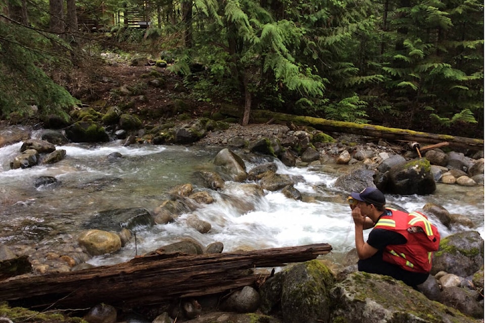
Areas where floods or debris flows might occur, for example, are highlighted on the map and colour-coded to the severity of risk.
The mapping tool is available at web.csrd.bc.ca/maps/?viewer=public.
Once the site is loaded, click the layers button in the bottom left of your screen, then select the “Hazard Mapping” box. This will enable you to see geohazard data found from “a series of reports, including a region-wide Geohazard Risk Prioritization Study…” according to the CSRD.
The regional district said such studies are used to inform land-use planning and development, as well as assist in emergency management planning.
Read more: Planned salvage logging near Sicamous prompts look at debris flow risk
Read more: Sicamous trailer park at increased risk of debris flow following summer’s wildfire
Do you have something else we should report on? Email: zachary.roman@saobserver.net
Like us on Facebook and subscribe to our daily newsletter.