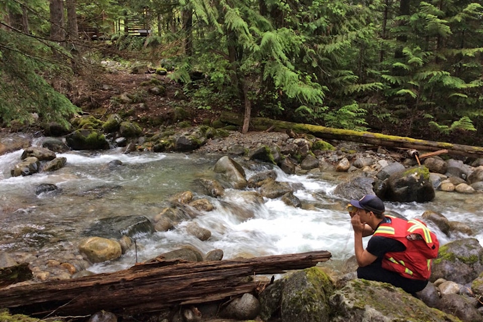
Four Shuswap watercourses are being studied as part of a mapping project focused on flood-water hazards in the Thompson River Watershed.
The Columbia Shuswap Regional District stated in an Oct. 12 media release that crews from BGC Engineering may be seen at Hummingbird or Sicamous creeks, or along the Eagle or Salmon rivers, conducting survey work for the study.
“This work is part of a larger study, initiated by the Fraser Basin Council, to conduct detailed mapping of flood-water hazards in the Thompson River Watershed,” reads the release. “The study will be considering 13 flood-hazard areas and two steep creeks in the watershed, including the locations in the Columbia Shuswap Regional District (CSRD).”
The results of the study are intended to further understanding of steep creek and other flood-hazard areas in the watershed. According to the CSRD, it will form part of a larger, phased project that will ultimately offer more comprehensive mapping to the public, property owners, qualified professionals and regulators. The maps will be a valuable tool for emergency management planning and will help determine flood risk and possible mitigation projects for the future.
Anyone with questions regarding the flood hazard mapping may contact Jan Thingsted, CSRD Planner III, at jthingsted@csrd.bc.ca or 250-833-5918, or Mike Simpson at the Fraser Basin Council at msimpson@fraserbasin.bc.ca or 250-314-9660.
Read more: Study investigates flood hazards in Columbia Shuswap
newsroom@saobserver.net
Like us on Facebook and follow us on Twitter
Sign up for our newsletter to get Salmon Arm stories in your inbox every morning.