Land overlooking Highway 1 about four kilometres east of Canoe experienced what’s being called a minor slide Sunday evening, but no damages or injuries resulted.
“There was a minor slide on Sunday night that filled the adjacent ditch, but there were no impacts to the Trans-Canada Highway,” stated an email from the Ministry of Transportation and Infrastructure. “The maintenance contractor will clean out the ditch to restore capacity, and ministry staff will continue to monitor the area as required to ensure the road remains open and safe for all those travelling on this section of Highway 1.”
Read more: 2018 - This year’s flooding doesn’t rival 1948
Read more: Shuswap Lake just keeps rising
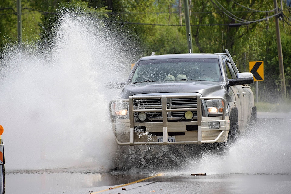
The recent snow melt and rain has made a mess of many Shuswap roads, but so far officials in Salmon Arm have received no reports of washouts or property damage.
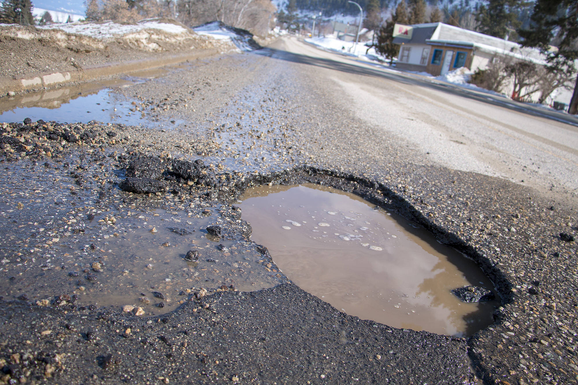
“We are dealing with the annual pothole problem; however there are no major issues that we are aware of or that have been reported,” said Salmon Arm’s director of engineering and public works, Rob Niewenhuizen.
To the southeast of Salmon Arm, Grandview Bench Road, which leads to the Larch Hills ski area, is plagued with ruts and potholes, and has generated many social media comments. Black Road, at the Auto Road and Highway 97B intersection, is also reportedly in bad shape, but is outside the city’s jurisdiction and falls under the responsibility of the provincial highways ministry and its contractors.
Read more: In photos - Back to flooding in the Shuswap
Read more: Peak levels for Salmon River downgraded
At the Columbia Shuswap Regional District, Derek Sutherland, team leader of protective services, says the CSRD generally becomes involved when flooding threatens or affects people in their homes.
He acknowledges that the snow melt has started but there has been no need to activate emergency programs.
In 2018, the Salmon River rose and began flooding properties in May, while Shuswap Lake rose to flood levels in June.
Read more: Erosion worries plague homeowners along Newsome Creek in Sorrento
Sutherland notes that the CSRD has been watching Newsome Creek in Sorrento, because heavy freshets in 2017 and 2018 dramatically changed the creek’s course.
The provincial Ministry of Forests, Lands, Natural Resource Operations and Rural Development, meanwhile, notes in an email that a lack of freezing temperatures overnight combined with warm daytime temperatures increases risk, as does rainfall.
“Rainfall on melting snowpack has the potential to significantly increase flood and landslide risks. Ministry staff are monitoring the situation through regular updates from B.C.’s River Forecast Centre and are guided by the British Columbia Flood Response Plan,” states an email from the ministry.
Read more: Residents weigh in on protecting Sicamous from flooding
“The River Forecast Centre analyzes snowpack, assesses seasonal water supply and flood risk, and predicts flows in British Columbia’s rivers and streams. It produces a range of bulletins, maps and warnings to inform emergency managers and the public about current and upcoming streamflow conditions.”
@SalmonArm
marthawickett@saobserver.net
Like us on Facebook and follow us on Twitter