Environment Canada is notifying Shuswap residents that a change from bitterly cold to a milder but very moist pattern will bring significant snow and a risk of freezing rain for Friday and into Saturday.
"This is an alert to the potential development of dangerous winter weather conditions in these regions. Monitor weather conditions," says the storm watch information.
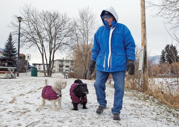
The region has been hit by frigid temperatures over the past week, but there has been little precipitation.
What meteorologists refer to as a pipeline carried a flow of chilled Arctic air originating near the North Pole all the way down to northern Washington State and across most of western Canada.
By 10 p.m. Tuesday, Jan. 17, the official end of a winter climate day, the temperature at the Environment Canada weather station on the Shuswap Lake waterfront read -16.9 C.
“It continued to cool off to -19.3 C by 4 a.m. Wednesday and it looks like it was heading down to minus 20,” said Doug Lundquist, a warning preparedness meteorologist with Environment Canada in Kelowna. “It’s definitely a shocker.”
After consulting weather data and other meteorologists, Lundquist predicted the air, and residents, would start to warm up sometime today.
“It’s almost over,” he said Wednesday, noting a system of warmer air from the south was expected to arrive Friday into Saturday. “We’re not entirely sure, but we expect a real dump of snow – 15 centimetres, plus or minus.”
Lundquist says moderating temperatures are predicted to reach a high of about plus 4 C Saturday.
“But I think in your area, I’d go to zero,” he said. “There’s lots of Arctic air and it’s gonna take a while to scrub it out of the valley.”
Lundquist says that by early next week, the air flow out of the southwest won’t be warm, and will probably include snow-bearing systems, but they won’t be accompanied by this week’s extreme cold.
High temperatures early next week are expected to be between 0 and -4 C. Normal temperatures for the period are -1 and -7 C.
“In week two, there’s a fairly high probability temperatures will be average or slightly warmer than average,” he said. “Once we start to get into February, the nights can be as cold but daytime temperatures warm up a little more.”
While he says the sun being up a little longer each day has a powerful effect on daytime temperatures, he offers the following caveat: “I remember the coldest day of winter being first day of spring one year.”