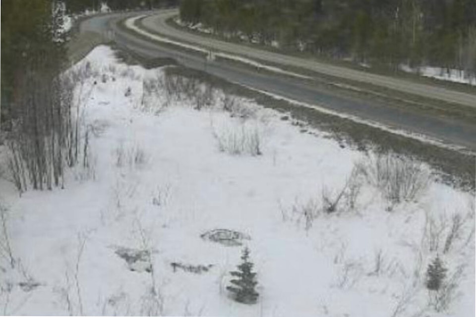
Environment Canada has issued a blowing snow advisory for the Okanagan Connector, with strong winds and flurries expected to fall Sunday morning, Feb. 25.
The federal forecaster says a strong southwesterly wind of 40 gusting up to 70 kilometres per hour will create “near-zero visability” in some locations between Merritt and Kelowna.
“Strong winds on Sunday, coupled with flurries, will bring near zero visibility at times, especially near the summit,” Environment Canada said in a statement. “Conditions will improve through Sunday night to Monday morning.”
If visibility is reduced while driving, turn on your lights and maintain a safe following distance, the statement added.
Winter storm warnings remain in effect for the Coquihalla Highway, Highway 3 from Hope to Princeton and Trans-Canada Highway from Eagle Pass to Roger Pass. Environment Canada is forecasting between 25 to 40 centimetres of snow to fall through Sunday evening.
Motorists are asked to check DriveBC.ca for updates.
READ MORE: Storm warnings in effect for Coquihalla, Highway 3