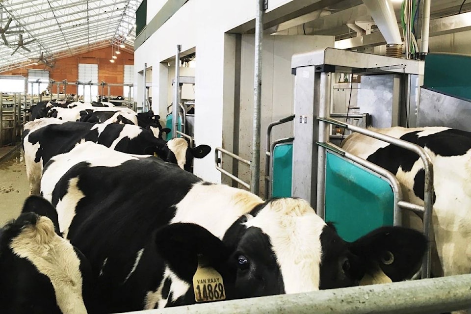
The Ministry of Environment say they will be visiting a dairy operation on the banks of the Salmon River regarding pollution complaints.
A letter sent to Columbia Shuswap Regional District (CSRD) Area D director Rene Talbot by the Okanagan Indian Band claims a dairy farm located near the Falkland end of Salmon River Road is threatening bank stability and water quality in the river. The letter states that the cows’ access to the stream bank has the potential to destroy riparian vegetation, and that the use of liquid manure fertilization can have a negative impact on water quality. The letter, signed by Chief Byron Louis, notes the band has water wells across the river from the dairy farm.
Read More: Money available to curtail nutrient pollution of Shuswap watershed
Read More: Passengers, pilot escape with only minor injuries in helicopter crash near Whistler
The CSRD sent a response noting the property in question is in the Agricultural Land Reserve (ALR) and the CSRD zoning allows agriculture.
The CSRD has no building inspection service in the area and as such, plays no part in the development of dairy barns. The letter says they also have no power to regulate farm use on ALR land.
The ministry states staff would be visiting the farm in the coming weeks to evaluate the farm’s compliance with the Agricultural Environmental Management (AEM) Code of Practice, a new set of regulations which came into effect in February 2019. The ministry states the goal of the regulations are to ensure that agricultural practices are consistent with the protection of clean, safe drinking water and clean air.
Read More: Wet’suwet’en hereditary chiefs optimistic ahead of talks with feds, province
Read More: ‘The project is proceeding’: Horgan resolute in support of northern B.C. pipeline
The focus of the coming visit to the farm will be manure application and access to water courses.
According to a ministry spokesperson, some of the new regulations in the AEM code specify that agricultural activities and structures must be set back a minimum of 30 metres from drinking water sources, 15 metres from watercourses and 4.5 metres from property boundaries to prevent pollution. The code also features nutrient application requirements to ensure fertilizer applied to land match crop needs and stop nutrients and pathogens from entering water bodies.
A three-year study released by the Shuswap Watershed Council concluded the Salmon River is one of the main sources bringing phosphorous into the Shuswap watershed. Phosphorous is one of the nutrients which can be released into water when crops are fertilized. The study notes that agricultural land contributes much more phosphorous to the watershed than urban or forested land. While water quality in the area remains largely good for now, increased phosphorous levels can cause undesirable water conditions like algae blooms.
jim.elliot@saobserver.net
Like us on Facebook and follow us on Twitter